In June over 7.5m UK unique users accessed The Weather Channel’s accurate weather forecasting data across web, mobile & tablet platforms. 5.5m UK unique visitors accessed www.weather.co.uk during the month of June, and in excess of 2m unique visitors from the UK accessed via our mobile platforms.

June was the wettest since records began, and July has followed suit with no sign of improvement in the near future.
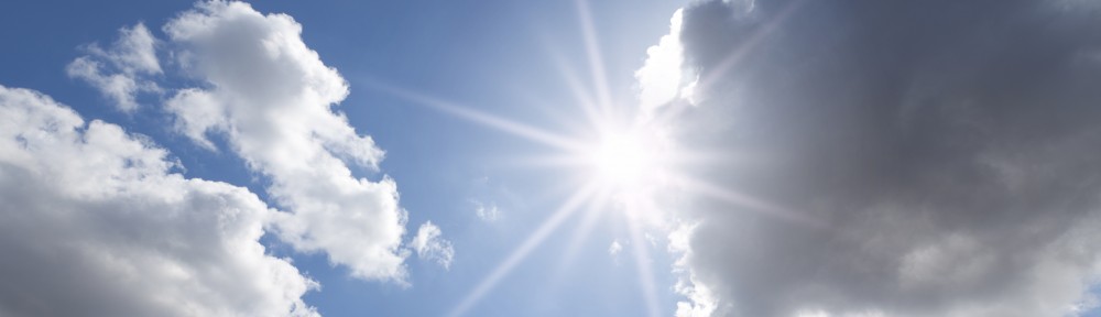
Retailers are suffering on the high street, as consumers are loathed to spend money on summer clothes while it is tipping it down outside. “Consumers don’t buy summer clothes because it’s summer, they buy them because it’s warm” said Mike Nicholson, Director of Mobile, at The Weather Channel. “Our unique weather triggering technology, that allows retailers to advertise only when the sun makes a rare appearance is more relevant than ever during this dismal summer. We enable advertisers to cut out wasted impressions, and increase their return on investment as a result. We can’t change the weather, but we can change the results your advertising achieves during this drab old summer.”
Jenny Slungaard, from Debenhams told us that during the wettest April in 100 years that they saw “an uplift of +414% on umbrella sales vs last year! Sales of sandals have been affected when it rains, however over the sunny spells we have seen sales increase +36% vs last year.”
I’m afraid the wet weather is set to stay for the rest of July at least. If you would like to talk to The Weather Channel’s media team about how we can help you target the right weather condition for your brand, please call Kim Allen on (020) 3618 5771 or email kallen@weather.com
Our free apps are available to download on iPhone, Android, Windows and iPad.

